Successful participation with 3D PluraView at Open Day Photogrammetry

Schneider Digital as a reliable partner for the aerial survey industry

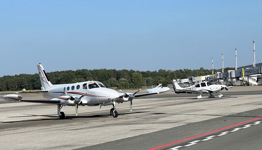
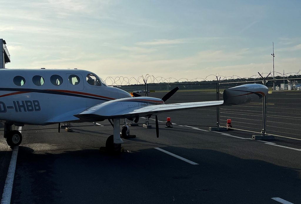
As one of the first companies supporting the “Open Day Photogrammetry” conference series (ODP) three years ago, Schneider Digital was again present at ODP2023 with an exhibition stand, high-end photogrammetry workstation and the 28″ 3D PluraView at this years’ conference venue, the Münster-Osnabrück airport (FMO). More than twenty European and international companies, the core of the aerial surveying industry, presented their equipment and exhibited inside the FMO terminal building. Several surveying aircraft also flew in and were directly accessible to the 150+ conference visitors, mostly from German, Austrian and Swiss state /federal authorities and services companies.
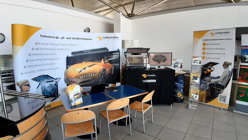
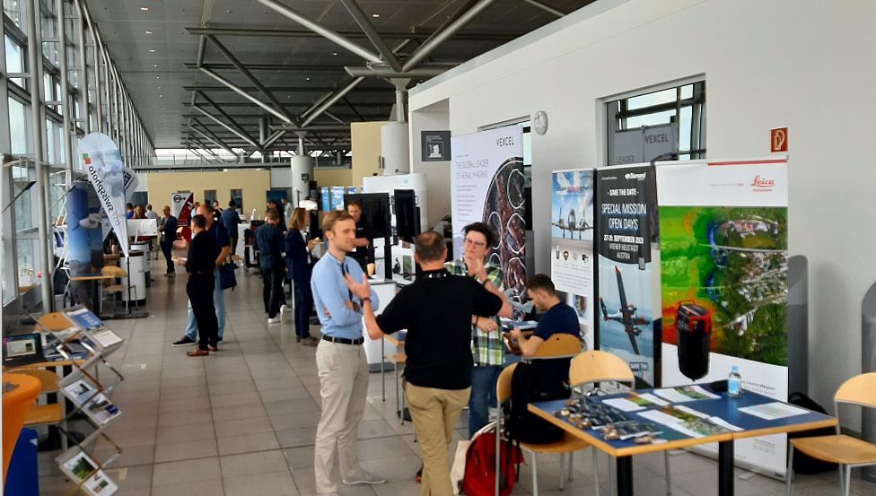
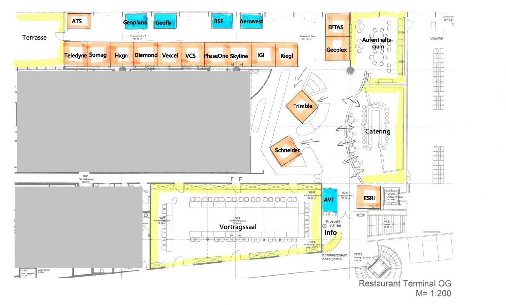
As a focused aerial surveying conference, the ODP2023 was clearly a ‘hands-on’ and ‘get-close event’, showcasing the latest high-tech aerial camera and airborne LiDAR equipment. Expertly organized this year by the Austrian aerial surveying AVT Group (https://www.avt.at/), the visitors had ample time to gather information about the latest aerial technology developments in workshop sessions, through a series of presentations and of course directly on the airfield and in the conference’s spacious exhibition area.
Since 2016, Schneider Digital has firmly positioned itself in the aerial surveying industry as a trusted manufacturer of the precision-calibrated 3D PluraView™ stereo-monitor series and special photogrammetric workstations for GIS feature collection. Recently, Schneider Digital has enhanced its stereoscopic display portfolio by the GlobeView™ large-format stereoscopic displays, a perfect tool for the presentation of geospatial 3D datasets, such as 3D city models.

3D-stereoscopic software applications:

Your Software not in the list?
Contact us: [email protected]

Schneider Digital’s workstation expertise extends to the ultra-fast, yet compact CopyStation and CopyStation PRO series of small-format, mobile PC units for aerial survey companies to rapidly copy large amounts of raw aerial camera data to secure storage media. For the processing of hundreds of Terabytes of aerial camera and LiDAR data, Schneider has built and delivered to customers around the World specific SD Image Server hardware solutions, processing reliably and rapidly raw aerial survey datasets into geospatial products, such as digital surface and terrain models (DSM/DTM), orthorectified images and ultra-realistic 3D City Models.

By the way: If you want to learn more about our 3D stereo, VR/AR and 4K/8K solutions or professional hardware components (high-end monitors, professional graphics cards, high-end workstations, smart VR wall, peripheral solutions, etc.), please just call us directly, phone +49 (8025) 99 300, or email us at [email protected].
For more information about the annual Open Day Photogrammetry events, please click here.

All other info about 3D stereo monitor 3D PluraView

News & Events

News from the world of 3D & high-end hardware
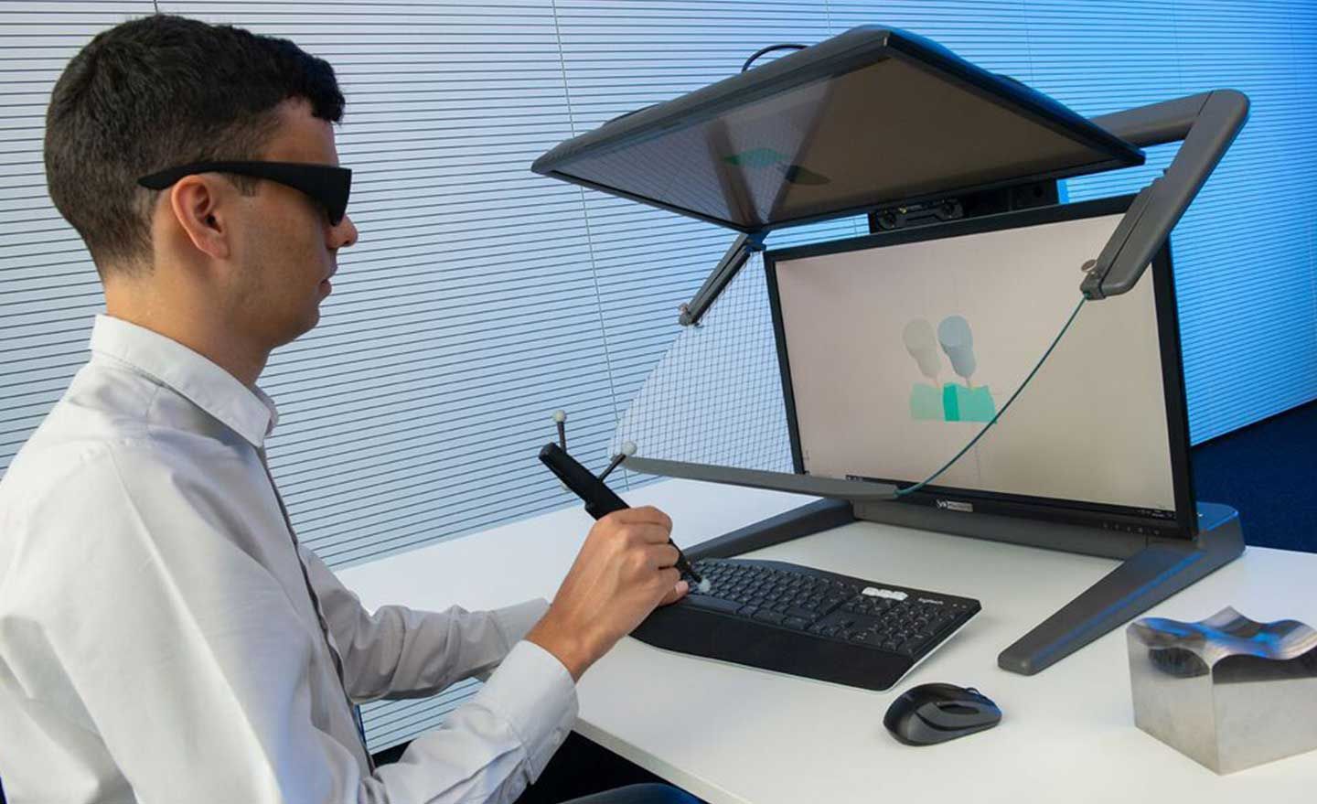
Schneider Digital unterstützt das Fraunhofer IPT bei der Entwicklung von CAMStylus.

AI innovation on the shop floor with Fraunhofer IPT and Schneider Digital
Schneider Digital is supporting the Fraunhofer IPT (Institute for Production Technology) in the development of CAMStylus - a pioneering solution that combines virtual reality and artificial intelligence for the intuitive creation of toolpaths. This technology revolutionises CAM programming through precise gesture recognition and AI-supported optimisation. Find out more in an Industry of Things article: ‘Paint first, mill later - cutting tool paths can now be drawn using AI’.

How to choose the best passive 3D stereo monitor for GIS and mapping?
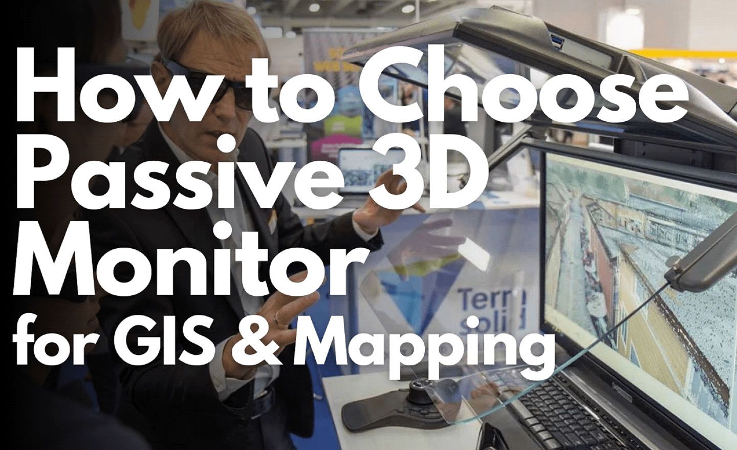
Choosing the right monitor plays a decisive role in precise GIS and mapping work. In his article for Surveying Group News, owner Josef J. Schneider describes everything that needs to be considered, such as IPS technology and ergonomic functions.
Schneider Digital Tebis-zertifizierte Workstations

Tebis-certified workstations for maximum performance and efficiency

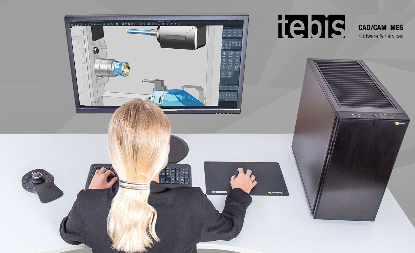
Tebis AG, a leading provider of CAD-CAM software solutions, and Schneider Digital, a renowned manufacturer of professional workstations, have established a pioneering technology partnership. We will create the perfect workstation for your Tebis application – a solution that combines maximum performance, reliability and efficiency.
Punktewolken Datensatz der Stadt Helsinki für die 3D-Stereo Betrachtung

Synergy for 3D perfection: TerraSolid and 3D PluraView
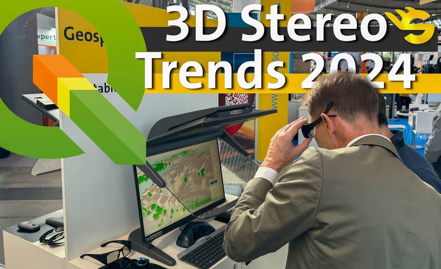
The combination of TerraStereo software from TerraSolid (Finnish geospatial software company) with the 3D PluraView monitor and the Stereoscopic Mouse Cursor from Schneider Digital is indispensable for productive work in the 3D stereo environment. Efficient point cloud processing and precise correction of incorrectly grouped objects, improved spatial perception through 3D stereo visualisation and flexible trimming optimise workflows.
Josef Schneider spricht über die neuesten Entwicklungen in der Open-Source-Community und die innovative Präsentation von QGIS 3D Stereo

Forward-looking presentation of QGIS 3D Stereo
Video-interview by Surveying Group with Josef Schneider, founder and owner of Schneider Digital, at INTERGEO 2024: Schneider talks about the latest developments in the open-source community and the innovative presentation of QGIS in 3D stereo. In addition, the latest technology for stereo streaming will be presented, which works both via internet browser and from a remote computer to a Syn client.
Schneider Digital auf der Intergeo 2024 Review jetzt ansehen

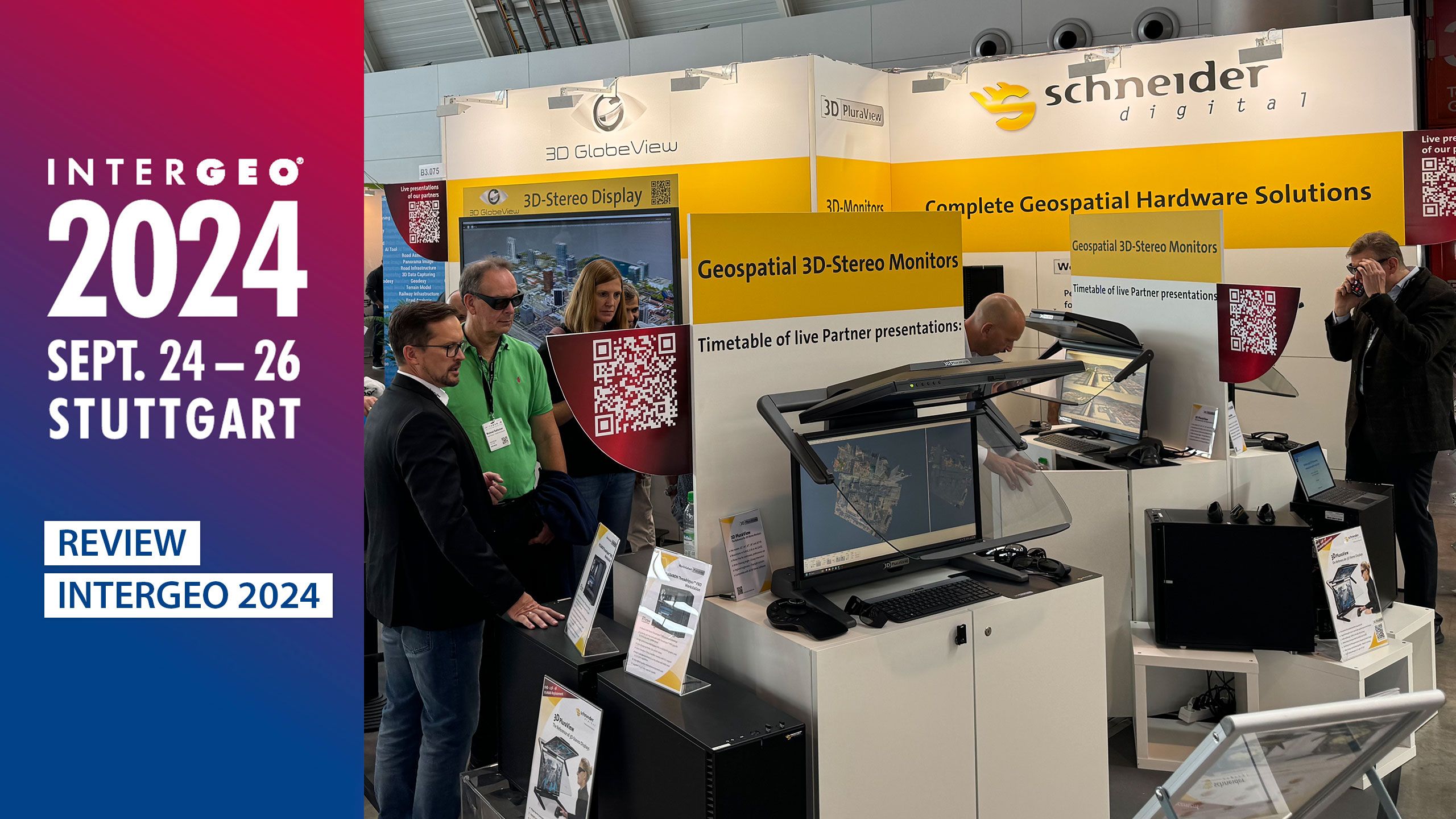
Review INTERGEO 2024: Live presentations by our software partners & live lecture by O. Grimaldi

September 2024: Schneider Digital presented pioneering 3D stereo visualisation technologies at INTERGEO 2024 from 24 to 26 September in Stuttgart, which are making a decisive contribution to digitisation in the field of geoinformation. The trade audience experienced our stereo monitors in action during live presentations by our software partners Bitmanagement Software GmbH, ESRI, FARO, HEXAGON, RhinoTerrain, Trimble and Zoller & Fröhlich. Another highlight: Orlando Grimaldi will be speaking on the Expo Stage about the future of geodata visualisation and mapping technology.

Inquire now!

    What is it about?

    Desktop Solutions3D Stereo SolutionsMeeting Room SolutionsLoan and Test ProvisionOther Topic

    Products

    Direct LED & LCD & OLED DisplaysPassive 3D Stereo & VR MonitorsPowerwalls / VR WallsPerformance WorkstationsProfessional Graphics CardsPeripherals & Controllers

    What can we do for you?

    CallbackInfo by e-mailConcrete offerTrade fair/event dateTechnical supportOther topic

    Project details

    A little info about you


    Important note on data protection:
    If you send the data entered in the contact form by clicking on the following button, you agree that we use your information to respond to your request or contact. A transfer to third parties will not take place, unless applicable data protection regulations justify a transfer or we are legally obliged to do so. You can revoke your consent at any time with effect for the future. In the event of revocation, your data will be deleted immediately. can obtain information about the data stored about you at any time. Further information on data protection can also be found in the privacy policy of this website.

    Google reCAPTCHA must be loaded to submit the form.
    Google reCAPTCHA Privacy policy

    Load Google reCAPTCHA